skip to Main Content

Arboricultural Impact Assessment for 160 new homes

Wild Frontier Ecology provided an initial tree constraints plan at a large site where an 160 home development is proposed. The survey found 300 individual trees on the site, and 23 groups of trees – many of which are protected by Tree Preservation Orders. These included a large variety of species such as silver birch, common lime, sycamore, red horse chestnut, horse chestnut, ash, and whitebeam. The initial tree survey and maps allowed for the homes to be designed amongst the trees to ensure maximum retention.

arboricultural impact assessment

There were 23 groups of trees on site

There were a number of additional issues to be considered on this site, such as the need to remove contaminated soil. WFE provided advice on this, so that no tree roots were damaged in the process, as well as on creation and upgrade of roads and paths which could affect tree roots. To prevent any damage during construction WFE provided information on suitable working methods, such as hand digging and fencing to protect trees. 

Many of the trees set to be removed on site had little arboricultural value, and were estimated to have a remaining lifespan of less than 10 years. However, old trees tend to have features such as cracks and crevices which provide suitable habitat for roosting bats. Experienced ecologists from WFE appraised the trees on site, and found that several trees earmarked for removal had significant roosting potential for bats. Licensed bat experts from WFE will be carrying out further bat activity surveys in the summer to inform an EPS license. Here, WFE’s joint arboriculture and ecology expertise were invaluable, as our ecologists were able to work together with our arboriculturalist to assess overall impacts of tree removal and give the client a broad picture of the site’s trees. 

Once the design had been finalised, an Arboricultural Impact Assessment was produced alongside a Tree Protection Plan and Method Statement. This will be used to instruct the developers in how to mitigate any tree removal on site and how to protect those that remain. The Arboricultural Impact Assessment also specifies in detail new tree plantings on site, which will enhance the arboricultural and ecological value of the site in the long term. 

Ground Source Heat Pump

tree survey heat pump

Semi-mature woodland trees were protected by tree protection fencing

Wild Frontier Ecology (WFE) provided a Tree Protection Plan (TPP) and Method Statement for the installation of a ground source heat pump. WFE conducted a tree survey adjacent to an area which would need to be excavated to install a ground source heat pump. The survey found two individual trees on site, an oak in poor condition and a horse chestnut tree in good condition and with moderate landscape value. There was also a small area of semi-mature planted woodland on site with silver birch, sycamore, oak, sweet chestnut, field maple, and hazel. The development had been designed so that all the trees on site could be retained. 

A map was produced showing where the tree roots were likely to be, and found the pipework would pass through the Root Protection Area of the horse chestnut tree which was assessed to have moderate landscape value. WFE were able to specify measures such as hand digging and an impermeable root barrier material to protect this tree. WFE also provided best practice methods for avoiding rooting areas, including lining the boundary of the pipework with impermeable root barrier material to prevent root ingress as trees in the area mature. This will prevent roots from the woodland area interfering with pipework as the trees grow and mature. 

By working with the client, WFE were able to ensure that trees would not be affected by the development and that the pipework would not be damaged by tree roots in the long term.

The report was submitted to the local planning authority to fulfil a condition of planning permission.

Heathland habitat assessment for stone curlew

stone curlew habitat survey

Stone Curlews

Wild Frontier was commissioned by the RSPB and Natural England to conduct a survey and assessment of heathland habitat for stone curlews in the Norfolk and Suffolk Breckland. Stone curlews are a rare summer visitor in East Anglia, and are afforded special protection under Schedule 1 of the Wildlife and Countryside Act. 

The survey involved visiting each site and categorising the habitat based on vegetation height – an important factor in determining suitability for stone curlew nesting. WFE then mapped the habitats on site and calculated which areas were suitable for stone curlew. 

The assessment provided an indication of site condition and potential population capacity for stone curlew, which can now inform conservation efforts and habitat management for the species. 

What is Phase 1?

  • February 16, 2011
  • Blog

The Phase 1 habitat survey. To those in the industry this is a well known term; to those outside our little world this can be another piece of mysterious jargon. So here is my guide to a ‘Phase 1 habitat survey’.

A Phase 1 habitat survey is designed to map an area under consideration based on the habitats present. As ecological consultants we use it as tool to inform on the need for further survey; as a baseline to record an area’s current state; or to help in the impact assessment of a development.

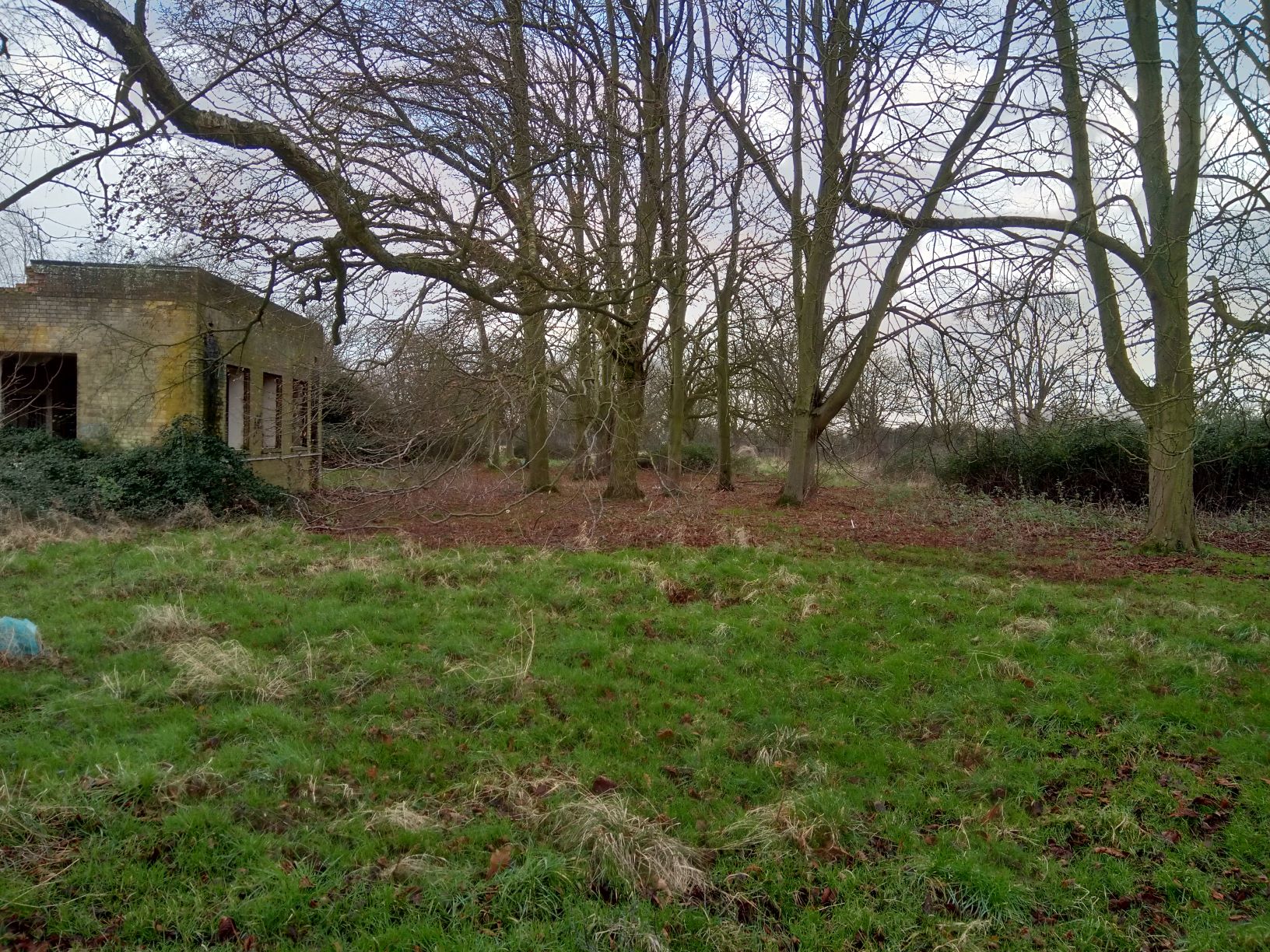
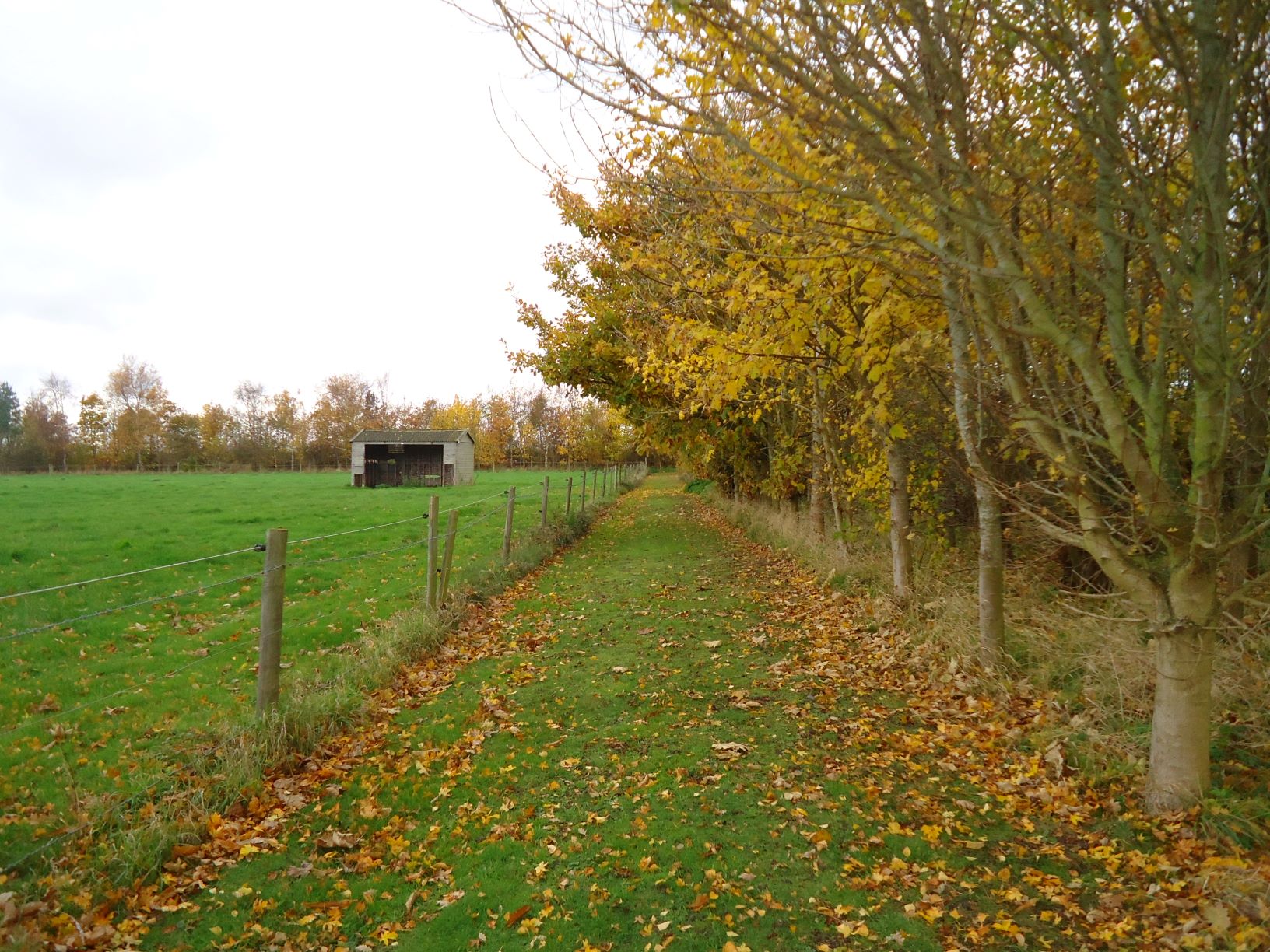
In a Phase 1 habitat survey, habitats are assigned a type in accordance with guidance set down by the Joint Nature Conservation Committee (JNCC); primarily this refers to the landscape structure and vegetation present. With standardised habitat definitions and map colour schemes, areas can be compared at a national level. As well as large habitat areas, boundary features are also assessed and classified. Hedges and ditches can also be important habitats. The output from a Phase 1 habitat survey is often a colourful map, with additional “target notes” to provide further information on any points of interest and habitats too small to map.

Whilst a Phase 1 habitat survey is exceedingly useful, an extended Phase 1 habitat survey is often preferred. This provides further information on a site, above that specified by JNCC, and allows the survey results to be of use in the context required, for example the assessment of a proposed development. An extended survey might include more detailed information on hedgerows, a botanical species list, and a further appraisal of the areas as habitat for legally protected species. As the major component of any Phase 1 habitat survey is the time taken walking the site the extended survey information can generally be obtained with minimal additional effort on the part of a competent surveyor.

A Phase 1 habitat survey is generally the first survey undertaken at a site and is often akin to a site assessment. By determining what habitats are present on a site the ecologist can say what, if any, protected species might be supported there. They can then assess the need for any further targeted surveys. Common protected species surveys in lowland habitats are for badgers, bats, breeding birds, great crested newts, otter, reptiles and water vole. However, it is exceptional that all these surveys would be required on a small site. Although protected species surveys are generally the second phase of ecological assessment of a site, in the jargon a Phase 2 survey specifically would refer to further botanical work on a site. This is generally in the form of a more detailed vegetation survey called ‘National Vegetation Classification’ (NVC). For the majority of lowland development work this level of vegetation survey is not necessary.

Ideally a Phase 1 habitat survey would be the first survey undertaken, this is inevitably not always the case. A Phase 1 habitat survey is best conducted between April and October when deciduous and annual plant species are identifiable. Dependent on a site we can often undertake an initial assessment to get a project underway. For many small development sites a Phase 1 habitat survey may not be appropriate as it takes a landscape approach. However, the same skills can be applied to assess the habitat quality of a site on a small scale.

As an ecologist the Phase 1 habitat survey is one of my favourites. By its very nature the most interesting habitats on a site must be inspected, and as these surveys often take us off roads and footpaths it provides the opportunity to be inquisitive and see the flora and fauna in areas that would normally be off limits. This off-piste kind of activity does also come with its disadvantages. As the newest addition to a field the local livestock normally find you fascinating. Then of course there may not be the handy gates and styles a footpath has to offer. Deep ditches, dense hedges and barbed-wire fences all provide their own challenges and impenetrable barriers normally show up just when it’s least convenient. Finally with thousands of plant species in the UK aspects of this survey are by no means easy. Plants may stay still, but they can hugely variable in size and form depending on the surrounding conditions. Still give me an interesting site any day, I like a challenge.

A Phase 1 habitat survey can often be a considerable walk in the countryside, so let’s face it as long as it’s not pouring with rain that is always better than a day in the office!

Susie

Susannah Dickinson

Susannah Dickinson

Susie has always liked plants (although maybe not grasses). She cut her teeth as a Phase 1 habitat surveyor working on surveys for a 45km cable route across Norfolk, and spent the last year attempting to do as many of WFE’s extended Phase 1 habitat surveys as possible. The highlight was a floriferous green lane in Northamptonshire. Susie has a rapidly expanding knowledge of arable weeds, and aspires to have as good a botanical knowledge as Rob!

For more information see:

Joint Nature Conservation Committee (2010) Handbook for Phase 1 habitat survey: A technique for environmental audit.

Ecology Technology

  • June 14, 2010
  • Blog

When I started out on my career in ecology – as an assistant warden on the Farne Islands – new boys were sent on a computer training course. I remember the darkened room with green monitor screens, the general confusion caused by the clunky and counter intuitive spreadsheet and word processing packages, and the general amusement caused by the whole charade, as in reality there was only one computer to be shared between nine of us. One generally felt that the technology was more trouble than it was worth, and anyway none of us were that good at it.

Life on the islands was simple, with two way radios our only regular form of communication. All our ornithological note-taking was done by gaslight, mainly in notebooks with paper and pencil. No-one had the money to buy decent photographic equipment. Communicating with friends and family was possible by letter or occasional phone call. The toilet flushing water had to be hand pumped from the North Sea. Need I say more?

When I visited the Islands last year, Dave Steele the head warden explained how the wardens’ lives had been revolutionised by mobile phones, blogging, solar panels, motorised winches and the bird recording by the use of digiscoping. The wardens looked like healthy, balanced individuals as opposed to the crazed bunch of half-starved zombies that emerged from the islands in December 1991. There was no doubt that in the intervening 18 years what is at times a very challenging job had become significantly easier, more effective and more fun for those lucky enough to work there. If you visit their excellent blog http://farnephoto.blogspot.com you can readily see the results of the tech advances. I didn’t ask about the toilets.

In more mundane localities, ecologists have also taken full advantage of the available technology to make their work more effective, accurate and accessible. Our reports are now full of accurate site plans, using GPS, lavishly illustrated, superbly designed, and take far less time to produce than even ten years ago. Surveys are supported by superb pieces of kit like bat detectors coupled to recordable mp3 devices, crystal clear optics, mobile phone cameras, sophisticated weather recording devices, endoscopes, night vision equipment – the list goes on. Use of digital aerial imagery has also greatly assisted in accuracy of site mapping. Ecologists are, as a result, able to achieve a great deal in much less time, and to a much higher standard.

Technology has driven up the standards of ecological work as new kit has become readily available. I have frequently seen tenders and work specifications which request data or survey techniques which require a technological solution – be it recordings of bat calls, sophisticated mapping imagery or use of complex databases. Digital photos allow evidence to be scrutinised thoroughly, and accurate mapping has changed vegetation survey from an art to a science.

So, looking forwards, how can technology improve yet further the quality of ecological work, and what would be on my own wish list for ace gadgets? Well, this is not an exhaustive list, but here goes:

  1. More practical and sophisticated equipment for static bat detection and recording, perhaps with predictive software for bat identification.
  2. The further integration of high quality optics with digital camera technology at an affordable price.
  3. An all-in-one field device for ecologists – a weatherproof gadget that takes photos with GPS location, and allows mapping directly in the field, as well as the collection of audio and visual evidence.
  4. Satellite imagery that’s completely up to date (like – yesterday).
  5. Teleport (no more Travelodge!).
  6. X ray vision (this would also be fun for a number of reasons).
  7. Bionics.

The last three are optional, but just think…

Rob

Robert Yaxley

Back To Top