skip to Main Content

Why ecologists are now using UKHab surveys

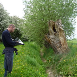
Graham conducting a habitat survey

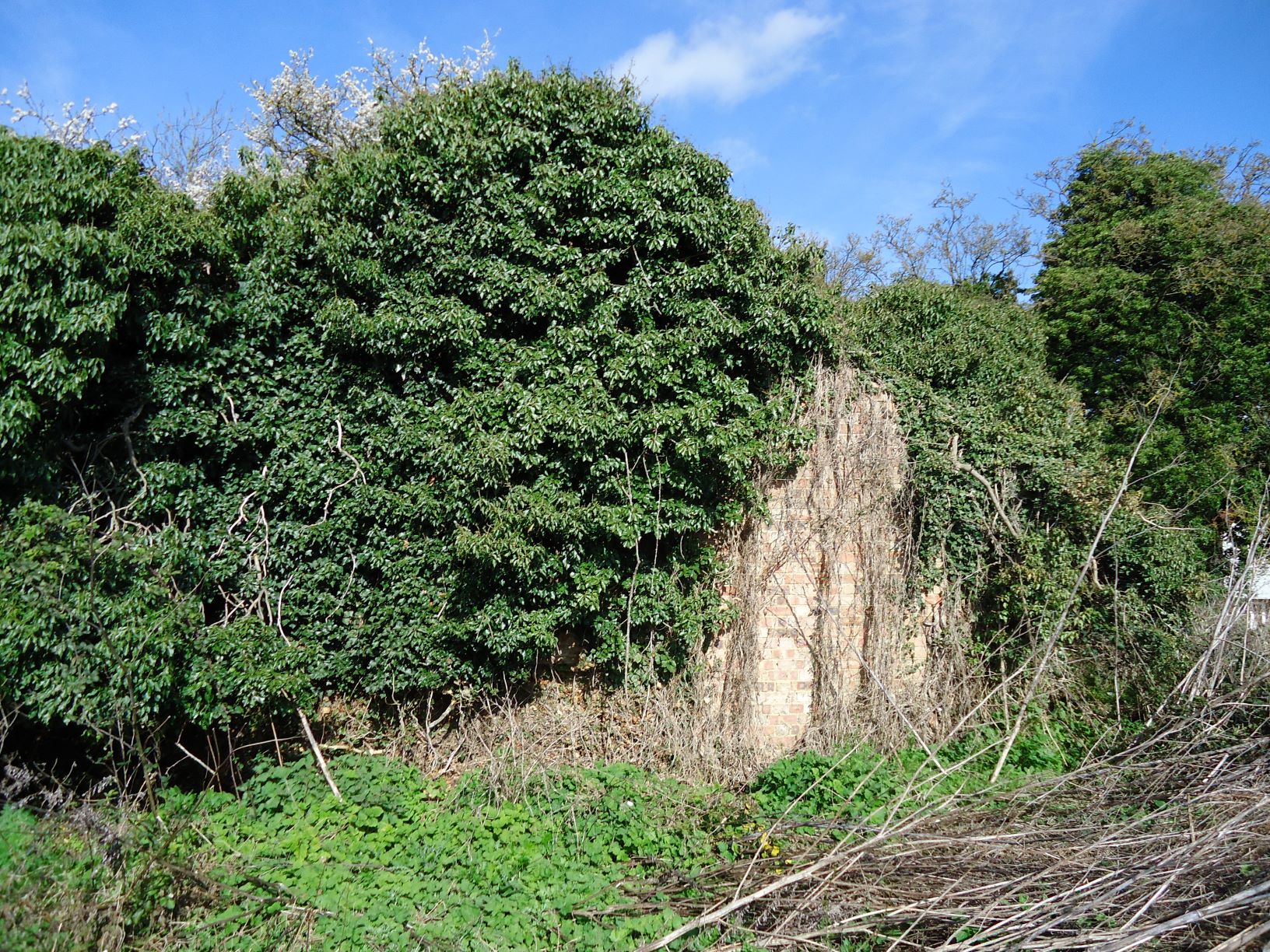
You may have noticed that ecologists and consultancies are moving away from the use of the JNCC Phase 1 habitat survey methodology to conduct habitat surveys and are instead using the newer UK Habitat (UKHab) Classification Working Group methodology. The UKHab classification system was released back in 2018 and it has since seen a near industry wide uptake for using this methodology, including Wild Frontier Ecology.

UKHab is a much newer classification system compared to JNCC’s Phase 1 with the last edition published in 1992. Legislation, policies, industry standards and mapping have changed considerably in that time and the UKHab classification system now provides a more modern and simple classification tool relevant for the present day. UKHab also has a greater variety of habitat types available for the surveyor to classify habitats compared to the older Phase 1 classifications. For example, there are 29 different primary codes for grassland with different categories covering lowland and upland grasslands. There is no longer a ‘semi-improved grassland’ category which will be familiar to those who previously used the Phase 1 classifications.

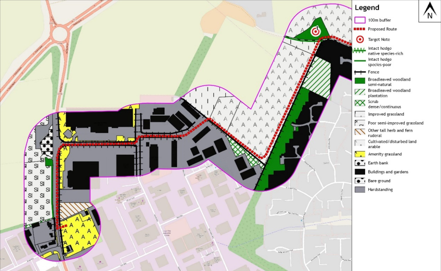
Producing habitat maps within GIS is a key part of Wild Frontier Ecology’s work and UKHab is designed for producing maps within GIS. This easily helps us to produce detailed habitat maps for our clients, which becomes slightly trickier if you’re using the Phase 1 classifications as it was designed for producing maps with paper and colouring pencils. UKHab has a standardised symbology much like Phase 1, which makes the habitat maps easy to interpret.

Biodiversity Net Gain was enshrined in law within the Environment Act 2021 and is expected to become mandatory for all large development projects in November 2023. To produce a Net Gain assessment for a proposed development the practitioner must use DEFRA’s Biodiversity Metric. The Biodiversity Metric uses the UKHab classification methodology and it is one of the main reasons why many ecology practitioners have switched to using UKHab. It saves time for ecologists to use UKHab, as otherwise all habitats classified using Phase 1 will need to be reinterpreted to use DEFRA’s Biodiversity Metric.

Though there are many benefits to UKHab it is not perfect and will likely be continually updated in response to the feedback from ecologists and other practitioners.

Phase 1 survey of a brownfield site

phase 1 brownfield site

Derelict buildings sometimes require bat roost assessments

An extended Phase 1 Habitat Survey was commissioned for a site in south Norfolk. The site consisted of 0.3ha of unused land, including an old dilapidated building and several trees with bordering woodland, farmland and existing development. WFE undertook a site survey to classify the habitats to JNCC standards, and with the methods being ‘extended’ to include a general evaluation of potential habitats for any protected or valued species. The habitats on the site and surrounding area were classified, hedgerows were appraised, buildings and trees were inspected for bats and considerations were made concerning other protected species.

All the information we collected was mapped, supported by target notes and photographs detailing protected species issues. Further protected species issues were ruled out in this case and this fed into a final report for planning. If further surveys had been necessary, WFE could have produced what is known as a Preliminary Ecological Appraisal (PEA) and a final report produced after necessary surveys had been completed.

A new water pipeline at Thetford

  • January 27, 2020
  • Blog

In 2018 Wild Frontier Ecology undertook an extended Phase 1 habitat survey along a proposed water pipeline route around Thetford in Norfolk. The route was proposed to go through an industrial estate, agricultural fields, pastures, grasslands, hedges and trees.

To assess the habitats along the route, and the potential for any impacts on protected species, Wild Frontier Ecology first carried out a desk survey. This comprised a search for conservation sites within 2km of the proposed route and a data search with the Norfolk Biodiversity Information Service for species records. Fourteen statutorily designated nature conservation sites and 16 County Wildlife Sites were found with three of the County Wildlife Sites directly intersecting the route. 6,450 species records, including reptiles and a variety of bird species were also found within the 2km buffer.

Next the route was subject to a walkover survey where all habitats within a 100-250m buffer of the proposed pipeline were mapped and considered for their potential to host protected species such as great crested newts, reptiles and stone curlews. Ponds were also recorded and assessed for their suitability for great crested newts.

phase 1 water pipeline

An excerpt of a Phase 1 Habitat Map for the pipeline route

Based on the findings of the habitat survey, the client was advised that further great crested newt, reptile and stone curlew surveys should be undertaken to ensure impacts on these species were fully considered. No great crested newts were found in any of the surveyed ponds, a population of grass snakes was recorded at one County Wildlife Site and a stone curlew nest recorded just to the north of the route.

phase 1 water pipeline

Adam contemplates an early bath

Subsequent advice on how to avoid the recorded ecological features allowed the client to opt for directionally drilling under the County Wildlife Sites.

Wild Frontier’s final report then summarised the anticipated ecological impacts for the purposes of planning. Tailored construction methods and seasonal restrictions to the work were advised based on the survey findings. Altogether the package of survey works and clear practical advice meant that the project was assessed to have a neutral ecological impact in the long term, fulfilling the client’s ecological obligations.

Back To Top